

Gravel in sa Comuna de Bunyola from Bunyola
By bicis.net community · Loop
In short: Circular gravel route of 37 km and +1,053 m starting and finishing in Bunyola (Illes Balears). It's hard and will take you about 3 h 35; its hardest kilometre is at 8.5 % and 76 % is track or trail.
Join for free to tick off the routes you ride and add up your kilometres and elevation gain.
Add to my calendar- Distance
- 37.0 km
- Elevation gain
- +1,053 m
- Max altitude
- 785 m
- Hardest km
- 8.5 %
- Difficulty
- Hard
- Estimated time
- 3 h 35 min
4 water fountains within 250 m of the route, according to OpenStreetMap. Cycling map
Profile
Run your finger or mouse over the profile to see each point on the map.
Surface
Tarmac 24 % Track 70 % Trail 6 %
Mostly track: good for gravel or a mountain bike. Measured on OpenStreetMap; there may be recent changes on the ground.
The route
The route
A mountain gravel loop in the Serra de Tramuntana, starting and finishing in Bunyola: 37 km and +1,053 m. Don't be fooled by the "short circuit" name: with that much climbing it's a long morning out. You leave the village and enter sa Comuna de Bunyola, a pine and holm oak forest climbed by wide tracks. From there you follow the camí des Penyal d'Honor, which looks out over the Bunyola valley and the Bay of Palma, and return to the village along the camí de sa Muntanya.
Seven out of every ten kilometres are on track. The rest is tarmac into the village and the odd short, rougher stretch. Use tyres of 40 mm or wider: there's loose stone on the climbs and descents.
Where it bites
The climbs in sa Comuna are short but come one after another, with no flat sections to recover. Save some energy for the second half and descend calmly: dirt bends with stone don't forgive too much speed.
Where to stop
Don't count on fountains or bars on the mountain: leave Bunyola with two bottles and something to eat. In the village there are cafés and shops for before and after.
When to go
October to May. In summer the heat is fierce on the climbs, and when there's a fire risk there may be restrictions in public woodland: check before you go. After heavy rain, the ground stays soft for a few days.
Getting there
Bunyola has a station on the Sóller train line from Palma; ask beforehand whether bikes are allowed. By car, park at the entrance to the village rather than in the narrow streets of the centre. You'll find more rides in the bicis.net cycling routes.
Sources for this text: OpenStreetMap: camí de sa Comuna (Bunyola) · OpenStreetMap: camí des Penyal d'Honor · OpenStreetMap: camí de sa Muntanya · Ferrocarril de Sóller
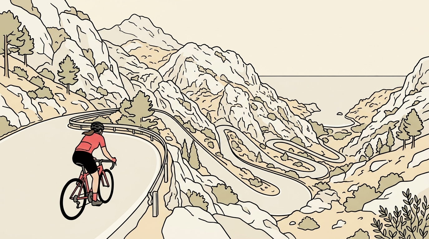
Surface: dirt track and compact gravel almost all the way, with some loose stone on the descents. A gravel bike with 40 mm tyres or wider works well, and so does a hardtail MTB.
Water and food: Bunyola has a fountain, bars and a shop. There is nothing on the tracks, so set off with a full bottle.
Best time: from October to May. In summer, start early because of the heat. After heavy rain, the loose stone gets slippery.
Watch out: the tracks are shared with walkers and, in season, with hunters. Respect the gates and the paths signed as private. You can get there on the Sóller train from Palma: check the conditions for taking your bike on board first.
Track based on an in-house design over OpenStreetMap (ODbL).
Frequently asked questions
- Is it a route for a gravel bike?
- Yes, with tyres of 40 mm or wider. Seven out of every ten kilometres are on track, with loose stone on the climbs and descents.
- How long does it take?
- It's 37 km with +1,053 m of elevation gain. Allow a long morning: the climbs in sa Comuna come one after another with no flat sections.
- Is there water along the way?
- Don't count on fountains or bars on the mountain. Leave Bunyola with two bottles and something to eat.
- Can you get there by train?
- Yes, Bunyola has a station on the Sóller train line from Palma. Ask beforehand whether bikes are allowed.
- What's the best time of year?
- October to May. In summer it's very hot and there may be restrictions in public woodland due to fire risk.
Before you set off, check the state of the road or track and follow the traffic rules. Enjoy the ride.
Got a gravel bike gathering dust?
People who ride tracks like this one look for second-hand gravel bikes, and right now very few are for sale. List yours for free and riders near you will see it.
Comments
Have you ridden it? Create your free account to comment.
More gravel routes in Islas Baleares
Events in Islas Baleares
- 28 Nov Gravel In 2 weeks Mallorca Gravel Series Tardor Sportive · Lloret de Vistalegre · Islas Baleares · Ruta larga and ruta corta
- 27 Jan Road Challenge Ciclista Mallorca Race · Mallorca · Islas Baleares
- 25 Mar Mountain bike Vuelta a Ibiza MTB MTB event / marathon · Ibiza · Islas Baleares · Unos 200 km en 3 etapas
Get our email made for over 11 million cyclists
Every Thursday, «El plan del finde» for your city: the riding weather, routes, group rides and second-hand bargains. Free.
People who ride a bike every week in Spain, according to the 2022 Bicycle Barometer by the Red de Ciudades por la Bicicleta.
When you sign up, tick «I want El plan del finde». One email every Thursday; unsubscribe with one click. Already have an account? Log in