

Las Lorigas climb via Benízar (CIMA MU07)
By bicis.net community · One way
In short: Climb of 15 km and +584 m from Socovos (Albacete), at 3.9 % on average up to 1,293 m. It's moderate and takes about 1 h 30 to climb; its hardest kilometre is at 8.8 % and it's almost all on tarmac.
Join for free to tick off the routes you ride and add up your kilometres and elevation gain.
Add to my calendar- Distance
- 15.0 km
- Elevation gain
- +584 m
- Max altitude
- 1,293 m
- Hardest km
- 8.8 %
- Difficulty
- Moderate
- Estimated time
- 1 h 30 min
Profile
Run your finger or mouse over the profile to see each point on the map.
Surface
Tarmac 100 % Track 0 % Trail 0 %
Almost all tarmac: ideal for a road bike. Measured on OpenStreetMap; there may be recent changes on the ground.
The route
Where it goes
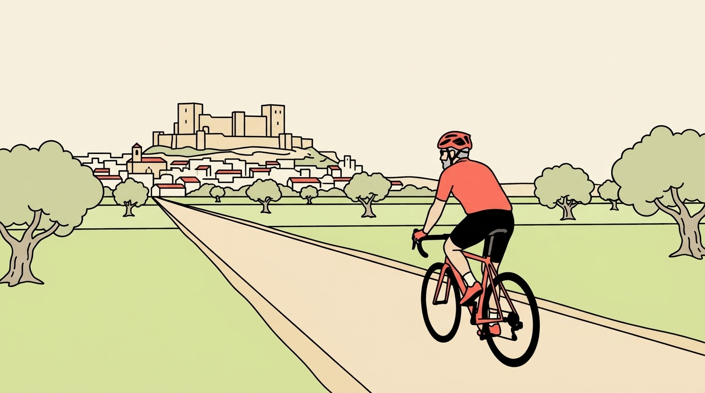
A long, quiet climb on the border between Albacete and Murcia. You start on the Socovos road and, crossing into Moratalla land, pass through the hamlet of Benízar. From there the road keeps gaining height between almond trees, pine woods and cereal fields, and the landscape opens out up to the Las Lorigas area, above 1,200 m. At the top you reach 1,293 m. The whole route is on tarmac, on a narrow road with very little traffic.
Where it bites
It's 15 km and 584 m of elevation at an average of 3.9 %, so you're nearly always climbing in a comfortable gear. The hardest kilometre reaches 8.8 %: that's the moment to drop a sprocket and not overdo it. Otherwise, it's a climb for riding at ease, taking in the scenery and adding climbing kilometres without suffering.
Where to stop
Get water and have your coffee in Benízar or before you set off. There are no services at the top and the final section is very lonely: take something to eat and a rain jacket for the descent.
When to go
Spring and autumn are its best time. Because of the altitude, in winter it's cold and there can be ice first thing; in summer, set off very early. On the way down, watch out for gravel on the bends, which stays on the road on routes with little traffic.
Getting there
There's no train station nearby: you arrive by car and park in Socovos or Benízar. If you stay in the area, there's the road loop of north-west Murcia from Caravaca, 60.6 km through Moratalla, Calasparra and Cehegín, and if you ride gravel, the Transmurciana 14, from El Sabinar to Moratalla.
Sources for this text: OpenStreetMap (subida CIMA MU07, relación 19687831) · Turismo de la Región de Murcia
Water and coffee in Benízar or before you set off; there are no services at the top and the final section is very remote. Because of the altitude, it's cold in winter and can be icy first thing; in summer, go very early. A narrow road with little traffic: watch out for loose gravel in the bends on the way down.
Track based on the signposted climb CIMA MU07 in OpenStreetMap (© OpenStreetMap contributors, ODbL).
Track based on OpenStreetMap (signposted climb CIMA MU07, relation 19687831, points in climbing order) (ODbL).
Frequently asked questions
- How hard is the climb to Las Lorigas via Benízar?
- It's 15 km with 584 m of elevation at an average of 3.9 %. The hardest kilometre reaches 8.8 %.
- Are there services on the climb?
- Only in Benízar and the villages below. There's nothing at the top and the final section is very lonely.
- Can you get there by train?
- No, there's no station nearby. You arrive by car and park in Socovos or Benízar.
- What is the best time of year to climb it?
- Spring and autumn. At the top you're above 1,200 m, so in winter it's cold and there can be ice first thing.
Before you set off, check the state of the road or track and follow the traffic rules. Enjoy the ride.
Comments
Have you ridden it? Create your free account to comment.
More routes in Castilla-La Mancha
Events in Castilla-La Mancha
Road bikes for sale
Get our email made for over 11 million cyclists
Every Thursday, «El plan del finde» for your city: the riding weather, routes, group rides and second-hand bargains. Free.
People who ride a bike every week in Spain, according to the 2022 Bicycle Barometer by the Red de Ciudades por la Bicicleta.
When you sign up, tick «I want El plan del finde». One email every Thursday; unsubscribe with one click. Already have an account? Log in