

Vasco-Navarro Greenway through the Montaña Alavesa, from Laminoria to Santa Cruz de Campezo
By bicis.net community · One way
In short: Greenway of 16.9 km and +14 m from Maestu (Álava). It's easy and will take you about 1 h 15; it's almost all on tarmac and there are 11 fountains within 250 m of the route.
Join for free to tick off the routes you ride and add up your kilometres and elevation gain.
Add to my calendar- Distance
- 16.9 km
- Elevation gain
- +14 m
- Max altitude
- 691 m
- Hardest km
- 0.2 %
- Difficulty
- Easy
- Estimated time
- 1 h 15 min
11 water fountains within 250 m of the route, according to OpenStreetMap. Cycling map
Profile
Run your finger or mouse over the profile to see each point on the map.
Surface
Tarmac 100 % Track 0 % Trail 0 %
Almost all tarmac: ideal for a road bike. Measured on OpenStreetMap; there may be recent changes on the ground.
The route
The route
You start in Laminoria, next to the tunnel through which the old Vasco-Navarro railway passed from the Llanada to the Montaña Alavesa. From there it's 16.9 km one way to Santa Cruz de Campezo, always along the railway bed. You descend through the Berrón and Ega valleys and pass Maeztu, Atauri and Antoñana, with its medieval wall. Then the line enters the gorge, between rock and woodland, and carries on to Santa Cruz along the greenway, without using the A-132 road.
The website measures the whole route as a smooth-surfaced cycle path: 100% tarmac, no tracks or trails. You can ride it with the family, with panniers or on your gravel bike.
Where it bites
In this direction it hardly bites at all. You descend from Laminoria's 691 m on railway gradients and climb only +14 m in total. If you come back the same way, the climb is just as gentle, though continuous.
Where to stop
You'll find water and bars in Maeztu, Antoñana and Santa Cruz de Campezo. In Antoñana you can stop at the railway interpretation centre. The line runs alongside the Izki natural park, with beech and oak woods on both sides.
When to go
Come in spring or autumn, when the woods change colour. In winter, the shady parts of the gorge can freeze early in the morning: set off later or ride carefully. Respect the crossings with roads and farm tracks.
Getting there and back
The train doesn't reach the Montaña Alavesa. The nearest station is Vitoria-Gasteiz, so most people drive and park in Maeztu or Santa Cruz de Campezo. To get back, retrace your route or carry on along the Navarre section of the greenway towards Estella. Check the riding weather first.
Sources for this text: Turismo de Álava (Diputación Foral de Álava) · Vías Verdes (Fundación de los Ferrocarriles Españoles) · OpenStreetMap
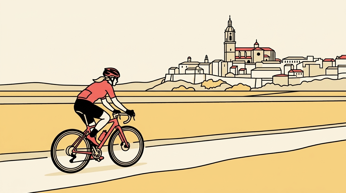
In this direction it's almost all downhill, with the very gentle gradients of a railway line, and it runs alongside the Izki natural park. It suits families, panniers or a gravel bike. Linear: come back the same way (a gentle climb) or link up in Santa Cruz with the Navarre section towards Ancín and Estella. Water and bars in Maeztu, Antoñana and Santa Cruz de Campezo. Best in spring and autumn, with the beech and oak woods in colour; in winter it can freeze in the shady parts of the gorge. Respect the crossings with roads and farm tracks.
Track based on an editorial design over OpenStreetMap (Vasco-Navarroaren bide berdea) (ODbL).
Frequently asked questions
- Is the whole route on the greenway or are there road sections?
- It all follows the old railway bed, including between Antoñana and Santa Cruz de Campezo. It doesn't use the A-132.
- Is it suitable for children?
- Yes. From Laminoria to Santa Cruz de Campezo it's almost all downhill and you climb only +14 m. The website measures the whole surface as smooth.
- Where can you park?
- In Maeztu or Santa Cruz de Campezo, the two villages with the most services on the route. As they're at either end, you can leave a car at each end.
- Can you carry on into Navarre?
- Yes. In Santa Cruz de Campezo you link up with the Navarre section of the Vasco-Navarro Greenway towards Ancín and Estella.
Before you set off, check the state of the road or track and follow the traffic rules. Enjoy the ride.
Comments
Have you ridden it? Create your free account to comment.
More greenways in País Vasco
Events in País Vasco
Get our email made for over 11 million cyclists
Every Thursday, «El plan del finde» for your city: the riding weather, routes, group rides and second-hand bargains. Free.
People who ride a bike every week in Spain, according to the 2022 Bicycle Barometer by the Red de Ciudades por la Bicicleta.
When you sign up, tick «I want El plan del finde». One email every Thursday; unsubscribe with one click. Already have an account? Log in